
This month’s blog post focuses on sixteen images, each with a brief explanation. These images were previously posted on our Facebook page, between February and April 2017, to showcase the beauty and heritage in our parish. Enjoy!
____________________
‘BROWNE’S RING’, CARHUE/LEEMOUNT, COACHFORD
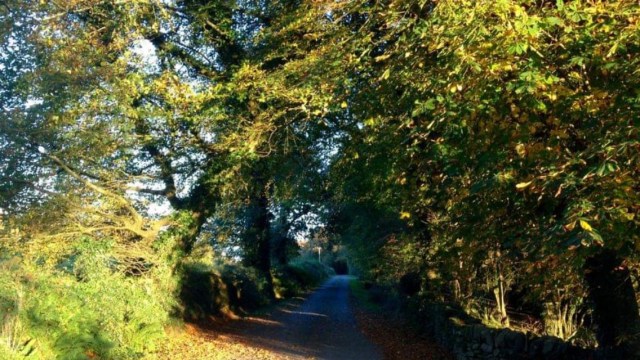
This road once led to the old Rooves Bridge (now submerged)
____________________
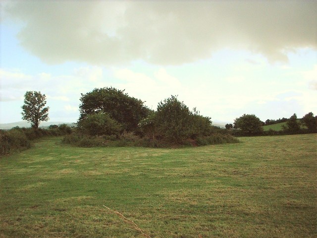
WEDGE TOMB, KNOCKNAGOUN, RYLANE
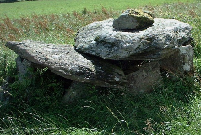
Possible Bronze Age – only wedge tomb in Aghabullogue parish (neighbouring Aghinagh has a few)
____________________
OGHAM STONE, AGHABULLOGUE
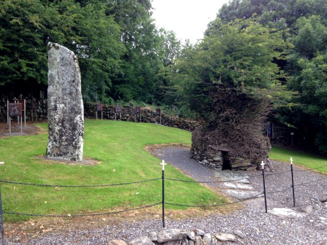
This ogham stone was placed alongside St Olan’s Well in 1851, and previously served as a footbridge across the Delehinagh river
____________________
MILLENNIUM PARK, COACHFORD
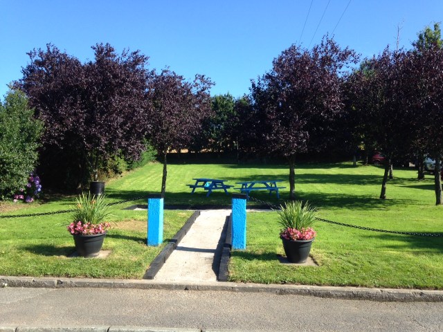
Named ‘Millennium Park’ to coincide with the New Millennium
____________________
MULLINHASSIG WOOD, AGHAVRIN

In 1837, Samuel Lewis described the Glen of Mullinhassig as a place with ‘beautiful and romantic scenery’
____________________
RING-BARROW, LECKANEEN, AGHABULLOGUE
Probable Bronze/Iron Age and excavated by archaeologist Jane O’Shaughnessy
____________________
RING FORT, GLENAGLOGH. RYLANE
Now overgrown, this ring fort was probably a residence/enclosed farmstead during early medieval times (1000+ years ago)
____________________
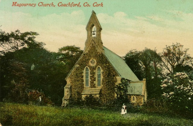
KILCOLMAN CHURCH & GRAVEYARD
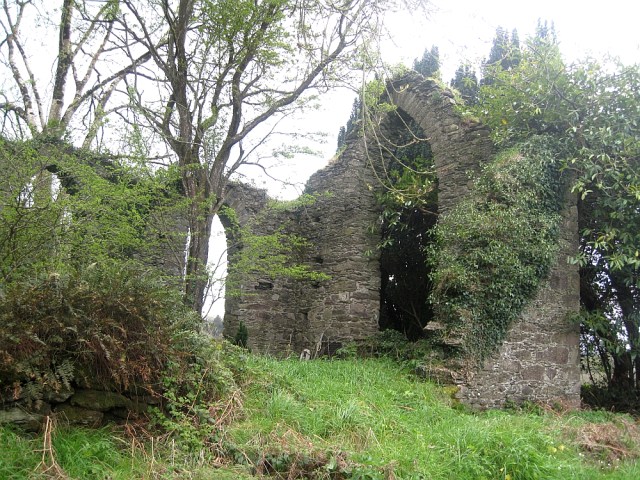
Kilcolman parish was originally separate, but united with Magourney by Order dated 22 June 1728
____________________
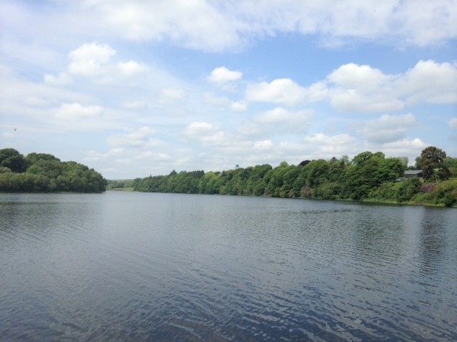
RIVER LEE, LEEMOUNT, COACHFORD

Once famed for salmon, the Lee today is better known for coarse fishing
____________________
MOUNTRIVERS HOARD, NATIONAL MUSEUM OF IRELAND
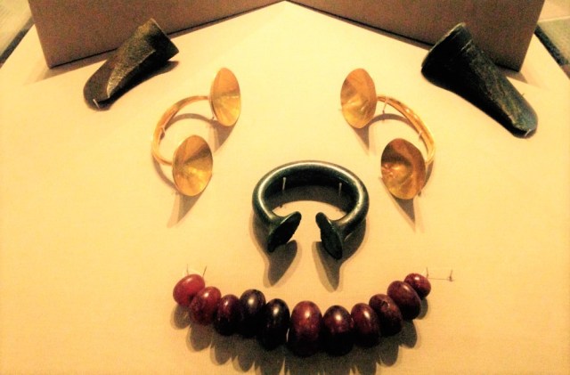
The Mountrivers Hoard was discovered in Aghabullogue parish in 1907. It dates to 800-700BC (Late Bronze Age)
____________________
CHRISTCHURCH, GLEBE, COACHFORD
Built as a place of worship in the mid-nineteenth century, closed during the 1980s, but today lives on as a private residence
____________________
CLAPPER BRIDGE, AGHAVRIN
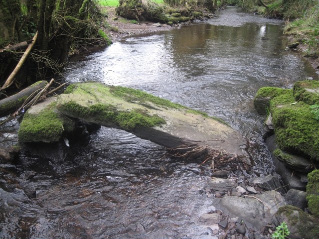
This footbridge, used by generations to cross the Glashagarriff river, was damaged by flood in later years
____________________
COACHFORD VILLAGE
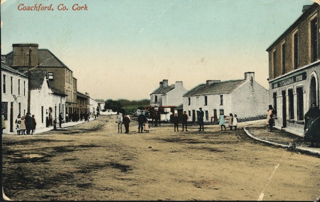
An early mention of Coachford can be found in the Freeman’s Journal dated 10 January 1822
____________________
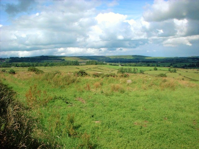
RING-BARROW, OUGHTIHERY, RYLANE

This burial mound overlooks the Boggeragh Mountains and dates to the Bronze/Iron Age (c. 2400BC – 400AD)
____________________
CAPTAIN KENNEFICK MONUMENT, NADRID, COACHFORD
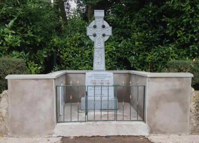
In 2006, a new monument was unveiled to Capt Timothy Kennefick (killed 1922 during Irish Civil War). Attendees included his son
____________________
SAINT’S STONE, HENMOUNT
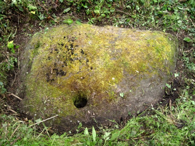
One of a number in Aghabullogue parish. Visitors would kneel here and sometimes leave offerings (such as coins)
